cbseacademic.nic.in Class XII Geography Sample Question Paper 2019-20 : CBSE Academic
Name of the Board : CBSE Academic
Class : XII STD
Document Type : Sample Question Paper SQP 2019-20
Subject : Geography
Year : 2019-20
Website : http://cbseacademic.nic.in/SQP_CLASSXII_2019_20.html
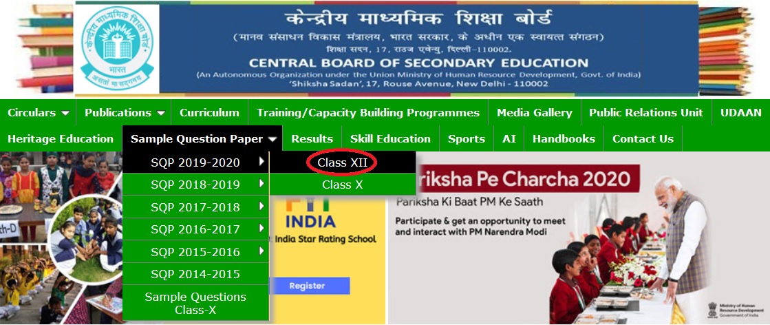
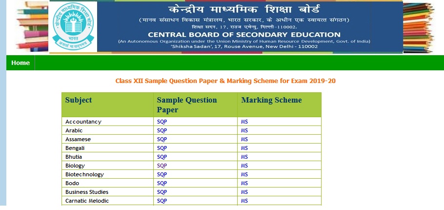
CBSE XII Geography Question Paper
Download Question Paper of Class XII Geography 2019-20 is now available in the official website of CBSE Academic.
Related : CBSE Academic Class XII History Sample Question Paper 2019-20 : www.pdfquestion.in/34610.html
General Instructions
i. There are 30 questions in all.
ii. All questions are compulsory.
iii. Question numbers 1 to 18 are Multiple Choice Questions (MCQs) carrying 1 mark each. Write only the correct answer in your answer sheets.
iv. Question numbers 19 to 22 are short answer questions carrying 3 marks each. Answer to each of these questions should not exceed 80-100 words.
v. Question numbers 23 to 28 are long answer questions carrying 5 marks each. Answer to each of these questions should not exceed 150 words.
vi. Question numbers 29 and 30 are related to identification or location and labeling of geographical features on maps, carrying 5 marks each.
vii. Outline map of India and World provided to you must be attached within your answer book.
viii. Use of template or stencils for drawing outline maps is allowed.
Section A
Q1 Which one of the following is the largest linguistic group of India?
a. Sino – Tibetan
b. Indo – Aryan
c. Austric
d. Dravidian
OR
Which one of the following periods had witnessed rapid growth of population.
a. Before 1921
b. 1921 – 1951
c. 1951 – 1981
d. After 1981
Q2 Which one of the following is the main reason for male migration in India?
a. Education
b. Business
c. Work and employment
d. Marriage
Q3 Identify the country with the highest sex ratio in the world
a. Latvia
b. United Arab Emirates
c. Japan
d. France
OR
Which one of the following figures represents the working age group of the population?
a. 15 to 65 years
b. 15 to 64 years
c. 15 to 66 years
d. 15 to 59 years
Q4 Which one of the following group of cities have been arranged in the sequence of their ranks i.e., 1,2,3 and 4 in size ?
a. Greater Mumbai, Bangaluru, Kolkata, Chennai.
b. Delhi, Greater Mumbai, Chennai, Kolkata.
c. Kolkata, Greater Mumbai, Chennai, Delhi.
d. Greater Mumbai, Kolkata, Delhi, Chennai.
OR
Palli and nagla belong to which one of the following rural settlements-
a. Clustered
b. Semi-clustered
c. Hamleted
d. Dispersed or isolated.
Q5 Which one of the following is not a Push factor?
a. Water Shortage
b. Medical/Educational facilities
c. Unemployment
d. Epidemics
Q6 Which one of the following best is the best description of Development?
a. An increase in size
b. A constant in size
c. A positive change in quality
d. A simple change in quality
Q7 Which one of the following is not a Plantation Crop?
a. Coffee
b. Sugarcane
c. Wheat
d. Rubber
Q8 Which one of the following types of cultivation was developed by European colonists?
a. Kolkhoz
b. Mixed Farming
c. Viticulture
d. Plantation
Q9 Which one of the following does not follow Monoculture?
a. Commercial Grain Farming
b. Plantation Agriculture
c. Mixed Farming
d. Dairy Farming
Q10 Which one of the following forms of settlement develops along either side of roads, rivers or canals?
a. Circular
b. Linear
c. Cross Shaped
d. Square
Q11 Which one of the following types of economic activities dominates in all rural settlements?
a. Primary
b. Tertiary
c. Secondary
d. Quaternary
Q12 The first urban settlement to reach a population of one million was
a. Paris
b. New York
c. London
d. Canberra
Q13 Identify the land locked harbor from the followings-
a. Vishakhapatnam
b. Mumbai
c. Ennor
d. Haldia
Q14 Which one of the following is the longest national highway of India?
a. NH-1
b. NH-7
c. NH-6
d. NH-8
Section B
Q19 “The chief gateways of the world of international trade are the harbours and ports”. Justify the statement with examples.
Q20 How is Possibilism different from Environmental Determinism? Explain with suitable Examples.
Q21 Study the pie-chart given below and answer the questions that follow-
a. Which sector’s share is the maximum in the usage of surface and ground water?
b. What is the percentage of agricultural sector in the usage of surface water and Ground water?
c. Why the development of irrigation was assigned a very high priority in the Five years plans?
For visually impaired candidates ( in place of Q. No. 21)
a. Name the two sources where water is available for irrigation.
b. Which sector of economy uses the maximum amount of water in our country?
c. Why is development of irrigation was assigned a very high priority in five years plans?
Q22 ‘Development has direct bearings on the deteriorating human conditions’. How poor people are more affected in this process?
OR
Describe the concept of Human Development as defined by United Nations Development Programme (UNDP)
Geography Sample Question Paper 2019-20 :
https://www.pdfquestion.in/uploads/pdf2019/34741-Geo.pdf
Section C
Q23 The challenge of sustainable development requires integration of quest for economic development with environmental concerns. Comprehend the statement in relation to the development of non conventional sources of energy in India by giving suitable example.
OR
Nuclear energy is replacing the conventional sources in India. Do you think it as a viable energy source of energy in future keeping in view the availability of nuclear minerals in India.
Q24 Study the map given below and answer the questions that follows-
a. What is the difference between the two areas shown as ‘Under Flow’ and ‘Under Lift’ system of irrigation.
b. Name any four districts that are benefited by the command area of the canal in stage I and stage II
For visually impaired candidates ( in place of Q. No. 24)
a. How has the introduction of Indira Gandhi Canal irrigation in the dry lands of Rajasthan influenced the environmental conditions of the region positively? Explain in three points.
b. Name any four districts benefitted by the Indira Gandhi Canal irrigation system.
Q25 Classify industries on the basis of the raw material used. Explain each of them with examples.
OR
Explain why high-tech industries in many countries are being attracted to the peripheral areas of major metropolitan centres?
Q26 “The modern economic development in the world is mainly the result of the development of Quaternary Service.” Explain the statement with suitable examples.
Q27 What are the modes by which cyber space will expand the contemporary economic and social space of humans?
OR
Which are the major regions of the world having a dense network of airways? Explain with examples.
Q28 Land degradation caused by human made processes are more harmful than natural processes in India. Analyse the statement with suitable examples.
OR
How has Noise pollution become hazardous in many big cities of India? Explain by giving suitable examples.
Q29 On the outline map of India mark and indicate the following features (any five)
a. State having highest urban population
b. Software technology park of Telangana
c. International airport located in Assam
d. Eastern terminal point of Golden Quadrilateral
e. Copper mine located in Rajasthan
f. Bauxite mines in Odisha
g. Southern terminal station of North-South corridor.